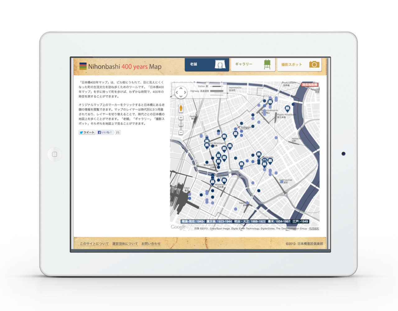
Nihonbashi 400 Years Map is a tool to experience life and culture of historical town, Nihonbashi, which we hardly can see due to buildings. Walking around the town with this tool, the users can travel through time and space from Edo era to present. The users can click markers on map of Shinise, established shops in Japan, they can check detail information of each shop on the map. We prepared 5 layers of different historical ages. By switching the layers, the users can walk on the different map of each age. In addition, the users can use “Photo Spot” to check some historical places at Nihonbashi for taking photos.
Mobile Map Application, 2011 –
Satoru Tokuhisa: Design
Sosuke Okubo: Application Programming
Collaborator
Tokyo University of Science Uno Lab.
Project URL
nihonbashi400.org *Sorry, only Japanese.

Post your comment